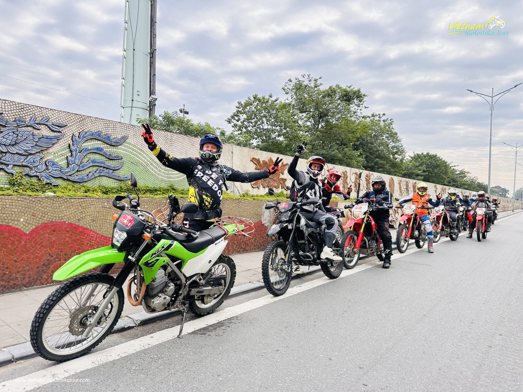
Itinerary:
Tour at a Glance:
|
Day |
Route |
Approx. Distance |
Main Riding Character |
|
1 |
Hanoi – Hoa Binh – Lung Van – Chieng Yen |
210–230 km |
Backroads, mountain curves, light dirt |
|
2 |
Chieng Yen – Son La |
170–190 km |
Mountain roads, backroads, optional off-road |
|
3 |
Son La – Dien Bien Phu |
250–270 km |
Long-distance mountain ride, Pha Din Pass |
|
4 |
Dien Bien – Lai Chau |
210–230 km |
Remote valleys, broken roads, twisties |
|
5 |
Lai Chau – Sapa – Muong Hoa |
110–140 km |
O Quy Ho + technical village off-road |
|
6 |
Sapa – Mu Cang Chai |
160–180 km |
High passes, terrace tracks |
|
7 |
Mu Cang Chai – Ta Xua |
170–200 km |
Dirt, mud, rocky tracks, technical riding |
|
8 |
Ta Xua – Hanoi |
220–240 km |
Mountain roads + rural backroads |
Total riding distance: approximately 1,500–1,680 km
DAY 1: HANOI – HOA BINH HYDROPOWER PLANT – THUNG WATERFALL – LUNG VAN – DT432B – CHIENG YEN
|
Approx. Distance: 210–230 km |
Estimated Riding Time: 6–7 hours, excluding sightseeing |
|
Road Conditions: Asphalt, secondary mountain roads, narrow village lanes, broken concrete, optional dirt tracks |
Riding Level: Moderate |
|
Key Highlights: Hoa Binh Hydropower Plant – Muong Country – Thung Waterfall – Lung Van Valley – DT432B – Bo Am Hot Spring |
Overnight: Chieng Yen |

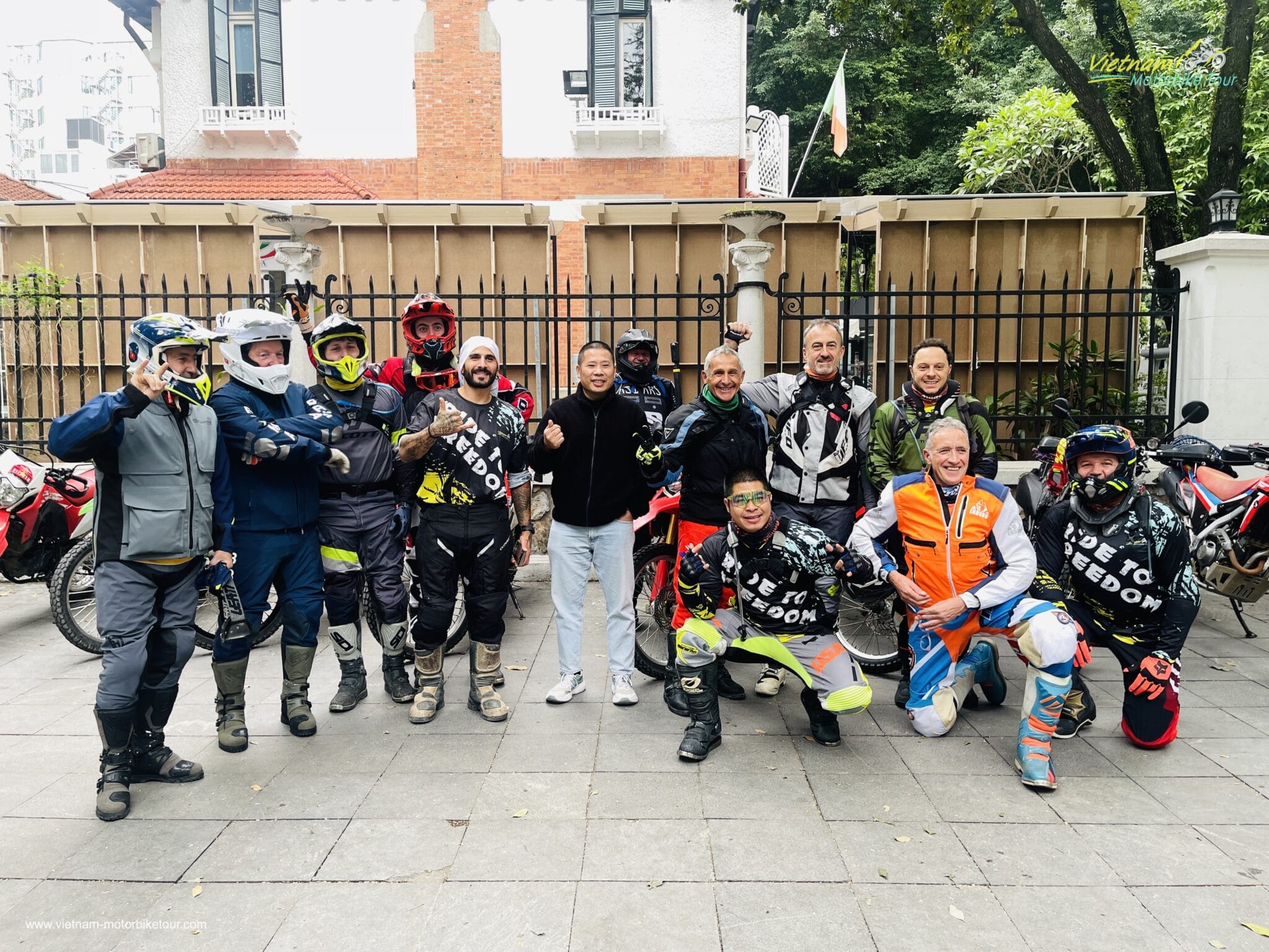
The adventure begins early in Hanoi as we escape the dense traffic of the capital and point our motorcycles west toward the mountains of Hoa Binh. Gradually the urban landscape disappears, giving way to rice paddies, limestone hills and the first winding roads of Northwest Vietnam.
Our first important stop is the Hoa Binh Hydropower Plant, one of the landmarks associated with the development of northern Vietnam’s energy infrastructure. Built on the Da River, the complex is not only an engineering site but also a significant chapter in Vietnam’s post-war development. The wider reservoir area has become an impressive landscape of mountains, water and ethnic minority communities.
From Hoa Binh we leave the busier roads behind and begin climbing toward Tan Lac and Van Son, entering the heartland of the Muong people. The ride becomes considerably more atmospheric here: narrow roads twist between bamboo groves, small villages and steep limestone formations.
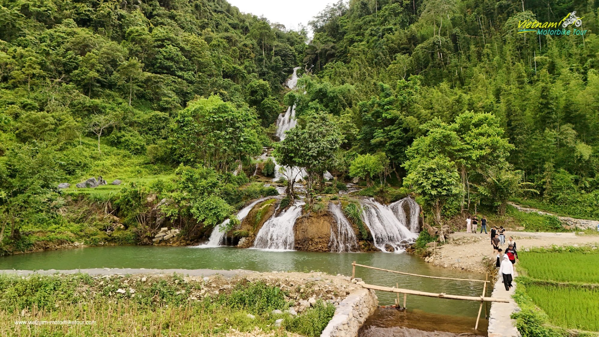
One of the highlights is Thung Waterfall, a multi-tiered waterfall hidden among the mountains near Lung Van. The area around Lung Van sits at roughly 1,000 metres and is often described locally as the ‘Roof of the Muong Region.’ Terraced fields, fruit gardens, traditional stilt houses and dense forest make this one of the most authentic landscapes of the first day.
We then attack the remote DT432B, a fantastic motorcycle road running through sparsely populated highlands around Noong Luong and Pu Bin. Sharp curves, narrow ridges and constantly changing elevation make this an enjoyable introduction to the riding ahead.
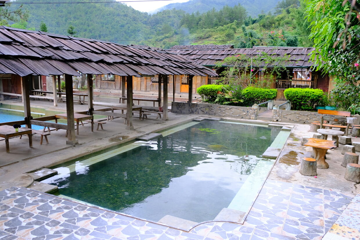
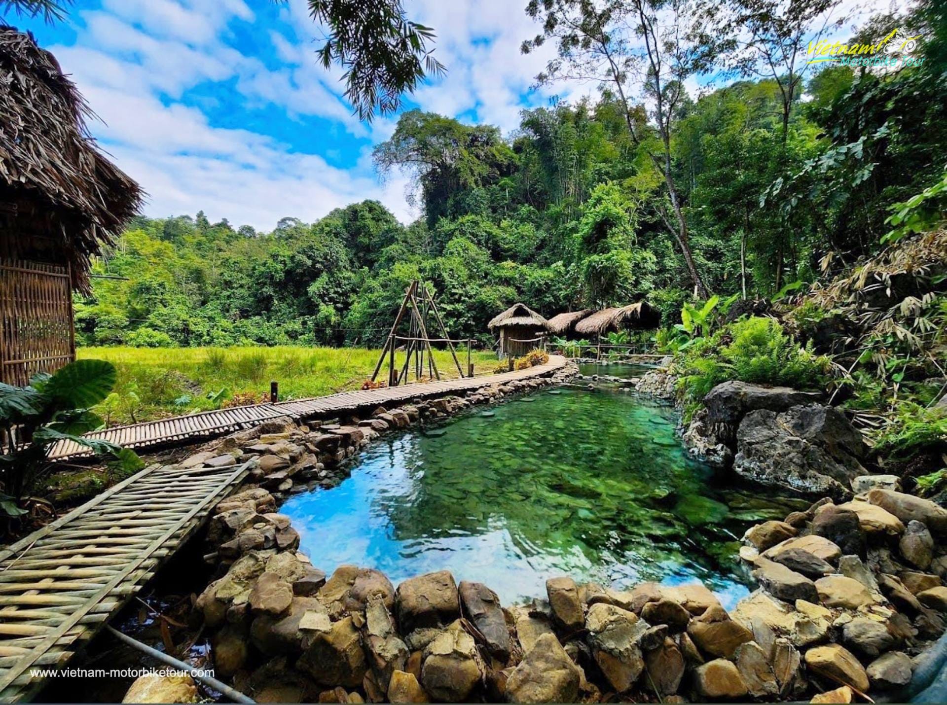
By late afternoon we descend toward Chieng Yen, a remarkably peaceful valley shared by Thai, Muong, Dao, Hmong and Kinh communities. Our reward after a long adventure ride is a soak in the natural Bo Am Hot Spring, where warm mineral water emerges beside the rice fields. A simple mountain dinner and the quiet of the valley provide a fitting end to our first day.
Riding character: Winding mountain roads • remote backroads • broken village lanes • introductory dirt sections • cultural riding
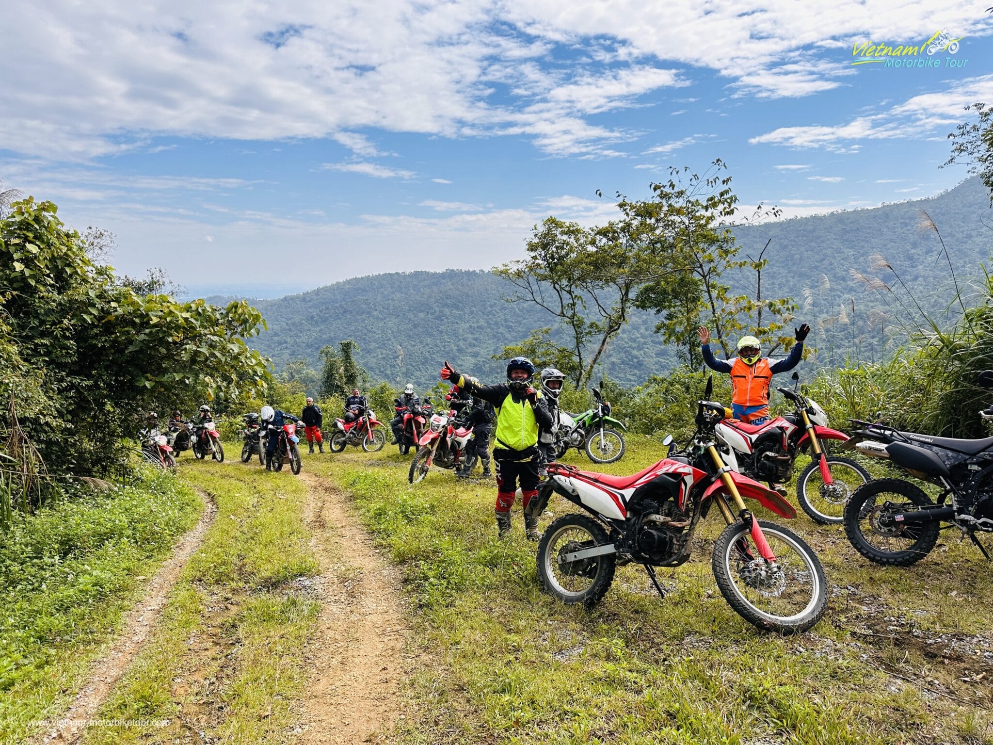
DAY 2: CHIENG YEN – REMOTE BACKROADS – MOC CHAU HIGHLANDS – SON LA
|
Approx. Distance: 170–190 km |
Estimated Riding Time: 5–6 hours |
|
Road Conditions: Small paved roads, mountain backroads, dirt tracks and optional technical detours |
Riding Level: Moderate |
|
Key Highlights: Chieng Yen Valley – Thai villages – Moc Chau Plateau – Da River landscapes – remote mountain roads |
Overnight: Son La |
Morning in Chieng Yen feels a world away from Hanoi. Mist often hangs over the valley while smoke rises slowly from wooden kitchens and farmers begin working the rice fields. Rather than racing immediately onto the main highway, we spend the early part of the ride exploring the smaller roads linking the local villages.
Chieng Yen has remained relatively untouched compared with better-known Moc Chau. The area is home to several ethnic communities, particularly Thai, Muong, Dao and Hmong families, and traditional stilt-house architecture is still part of everyday life here.
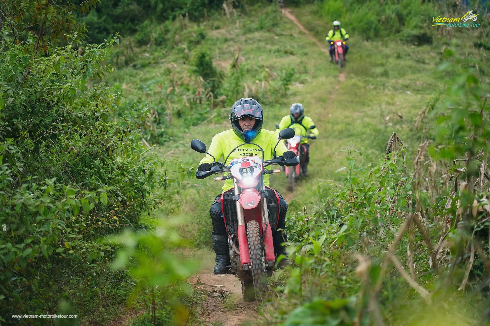
After warming up on narrow backroads, we climb toward the wider Moc Chau Plateau. This region is characterised by rolling agricultural hills, tea plantations, fruit farms and cool highland air. Depending on weather and group ability, our guide can introduce some sections of dirt tracks and farm trails, avoiding parts of the main road and adding a genuine off-road flavour to the day.

Beyond Moc Chau, the terrain becomes increasingly rugged. The road flows through valleys carved between high forested ridges, periodically opening to impressive viewpoints over the greater Son La highlands.
This is a day where the pleasure comes less from ticking off famous monuments and more from the rhythm of riding itself: one hairpin after another, villages appearing around blind corners and long stretches where traffic is virtually absent.
More experienced riders may have opportunities for wild tracks, muddy roads or short single-trail sections, while less experienced riders can remain on easier mountain roads. This flexibility is important because conditions in Northwest Vietnam can change dramatically following heavy rain.
Approaching Son La City, the mountains open into a broad basin. Son La has long served as an important cultural and administrative centre of the Northwest and is home to sizeable Thai and Hmong communities. We arrive with enough time to relax, inspect the bikes and prepare for tomorrow’s significantly longer journey to Dien Bien Phu.
Riding character: Backcountry riding • dirt roads • sharp curves • rolling highlands • light-to-moderate off-road
DAY 3: SON LA – THUAN CHAU – PHA DIN PASS – TUAN GIAO – DIEN BIEN PHU
|
Approx. Distance: 180–200 km |
Estimated Riding Time: 6–7 hours |
|
Road Conditions: Mainly paved mountain roads with secondary-road alternatives, dirt tracks and optional technical detours |
Riding Level: Moderate / long-distance mountain riding |
|
Key Highlights: Son La highlands – Pha Din Pass – Thai & Hmong villages – Dien Bien Phu Valley |
Overnight: Dien Bien Phu |
Today’s ride is one of the great trans-Northwest journeys.
Leaving Son La, we head west toward Thuan Chau as the mountains become progressively larger and the valleys narrower. The landscape alternates between terraced farmland, corn-covered slopes and thick tropical forest.
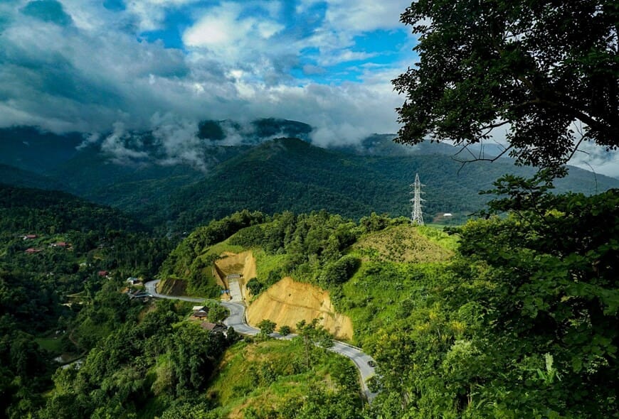
The main challenge — and one of the greatest pleasures — is Pha Din Pass. Historically, Pha Din was one of the most important gateways leading toward Dien Bien. During the 1954 Dien Bien Phu campaign, the surrounding mountain routes were strategically important supply corridors. Today, they provide motorcyclists with a fabulous combination of steep climbs, twisted mountain roads and panoramic highland views.
‘Pha Din’ is commonly associated with the idea of the boundary between earth and sky, an appropriate description when cloud banks roll across the upper slopes.

We take our time through the pass rather than treating it merely as a transit road. Stops along the way allow riders to appreciate the scale of the surrounding mountains and observe the dramatic differences between the valleys on either side.
After descending toward Tuan Giao, we continue deeper into Dien Bien Province. Roadside communities increasingly reflect the ethnic diversity of this frontier region, where Thai, Hmong, Kho Mu and other peoples have lived for generations.
The final approach into Dien Bien Phu is memorable. After hours riding through mountain corridors, the landscape suddenly opens onto the enormous Muong Thanh Valley. It is difficult to ride into Dien Bien without feeling the weight of history. In 1954, this remote valley became the location of the decisive battle between the French Expeditionary Corps and Viet Minh forces, a turning point that profoundly reshaped French colonial rule in Indochina. Tonight, however, the priority is food, rest and a cold drink after one of the longest EPIC RIDES of the expedition.
Riding character: Long sweeping sections • steep mountain passes • hairpins • fast-flowing twisties • highland expedition riding
DAY 4: DIEN BIEN PHU – DIEN BIEN BATTLEFIELD – MUONG CHA – MUONG LAY – LAI CHAU
|
Approx. Distance: 160–190 km |
Estimated Riding Time: 6–7 hours including visits |
|
Road Conditions: Mountain asphalt, secondary roads, some broken sections, offroads / dirt tracks |
Riding Level: Moderate |
|
Key Highlights: A1 Hill – De Castries’ Bunker – Muong Thanh Valley – Muong Lay – Nam Na / Da River landscapes |
Overnight: Lai Chau |
Before leaving Dien Bien Phu, we devote part of the morning to the historical landscape that made the city famous worldwide.
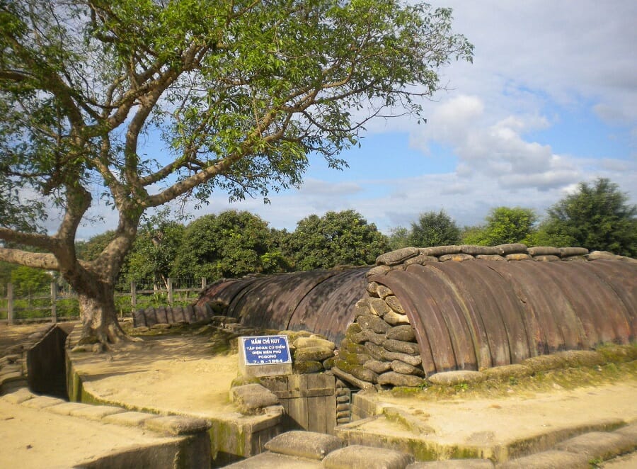
Our first visit is A1 Hill, known to the French forces as Éliane 2. It formed one of the most important defensive positions protecting the central French command area. The fighting here lasted for weeks, culminating during the final phase of the battle in May 1954. Today trenches, bunkers, battlefield remains and the large explosion crater help visitors understand just how intense the fighting was.

We can also stop at General De Castries’ Command Bunker, located in the former centre of the French fortified position. The preserved bunker allows riders to step momentarily out of adventure-tour mode and appreciate the extraordinary historical significance of the valley.
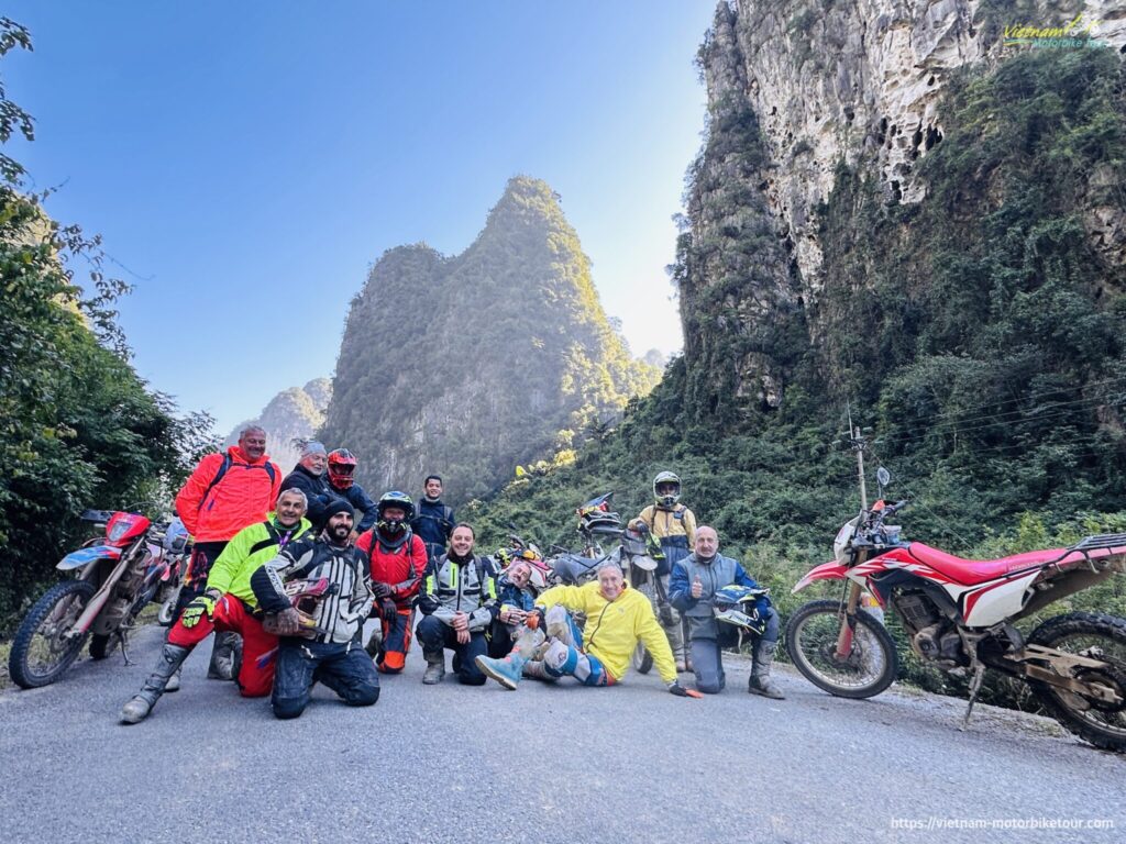
Leaving Dien Bien, we ride north toward Muong Cha. The scenery becomes increasingly remote as the road clings to mountain slopes high above river valleys. Traffic thins dramatically, villages become smaller and the riding develops a wonderful expedition feel.
Further north we descend toward Muong Lay, dramatically positioned near the convergence of mountain valleys and waterways. This section delivers exactly what Northwest riding is famous for: sweeping bends followed by sharp curves, sudden landslides, small suspension bridges and endless green mountains.

Depending on road and weather conditions, our guide may lead the group onto secondary routes rather than keeping entirely to the main road. These can include broken asphalt, compact dirt, gravel and muddy stretches after rain.
The final leg toward Lai Chau City brings another succession of high passes and isolated valleys. Lai Chau Province remains one of Vietnam’s least densely populated mountainous regions and has a remarkable ethnic mosaic, including Hmong, Dao, Thai, Ha Nhi and other minority communities. By the time we roll into town, the feeling is unmistakable: we have moved far beyond mainstream Vietnam.
Riding character: Remote mountain touring • broken roads • sharp bends • river valleys • occasional dirt and gravel
DAY 5: LAI CHAU – TAM DUONG – O QUY HO PASS – SAPA – MUONG HOA VALLEY OFF-ROAD
|
Approx. Distance: 110–140 km including off-road loop |
Estimated Riding Time: 5–6 hours |
|
Road Conditions: Mountain asphalt, steep village roads, dirt tracks, possible muddy sections and single trails |
Riding Level: Moderate to challenging |
|
Key Highlights: Tam Duong – Hoang Lien Son Range – O Quy Ho Pass – Sapa – Muong Hoa Valley – ethnic villages |
Overnight: Sapa |
Today’s kilometre count is relatively short, but do not mistake it for an easy day.
From Lai Chau we head toward Tam Duong, riding beneath some of the most impressive mountains in northern Vietnam. The landscape rises dramatically as we approach the Hoang Lien Son Range — home to Fansipan and Vietnam’s highest peaks.
Soon we reach one of the legendary roads of the country: O Quy Ho Pass. Rising above 2,000 metres, O Quy Ho crosses the Hoang Lien Son mountain range between Lai Chau and Lao Cai. Endless curves cling to the mountainside, while clouds frequently sweep across the summit. The climatic difference between the western and eastern sides of the mountains can be remarkable.

This is pure motorcycle territory: steep passes, sweeping corners, tight hairpins and huge mountain vistas.
After crossing the pass, we arrive in Sapa, but instead of parking the motorcycles and joining the tourist crowds, we continue toward the villages scattered through Muong Hoa Valley. Here the character of the day changes completely.
Small concrete lanes give way to dirt tracks running between rice terraces, bamboo forests and Hmong and Dao settlements. Depending on weather, certain sections can become slippery, rocky or muddy, providing one of the more technical portions of the expedition.
Experienced groups may tackle additional single trails, village tracks or river crossings where locally appropriate; easier alternatives remain available for intermediate riders. Unlike the busy centre of Sapa, the deeper parts of Muong Hoa Valley still reveal rhythms of agricultural life that have changed relatively little: water buffalo in rice fields, timber houses, indigo clothing and terraces shaped manually over generations.

This mixture of iconic scenery and authentic riding makes Day 5 one of the highlights of the entire tour. By late afternoon, we climb back toward Sapa for a well-earned shower and dinner.
Riding character: High mountain pass • dirt tracks • steep village trails • slippery sections • technical off-road
DAY 6: SAPA – O QUY HO – TAN UYEN – THAN UYEN – MU CANG CHAI
|
Approx. Distance: 160–180 km |
Estimated Riding Time: 5–6 hours |
|
Road Conditions: Mountain asphalt, remote secondary roads, optional dirt trails |
Riding Level: Moderate |
|
Key Highlights: Hoang Lien Mountains – Lai Chau countryside – Than Uyen Valley – Mu Cang Chai Rice Terraces |
Overnight: Mu Cang Chai |
We leave Sapa early, returning toward the high country before turning south into one of Vietnam’s greatest motorcycling corridors.
The first hours provide spectacular views of the Hoang Lien Son Range, weather permitting. From here, the road descends through Tam Duong toward Tan Uyen and Than Uyen, linking isolated valleys where rice fields spread across wide mountain basins.
It is one of those days when riders fall naturally into a rhythm: accelerate out of one bend, brake for the next hairpin, then suddenly slow down because a buffalo, tractor or group of schoolchildren has appeared around the corner.
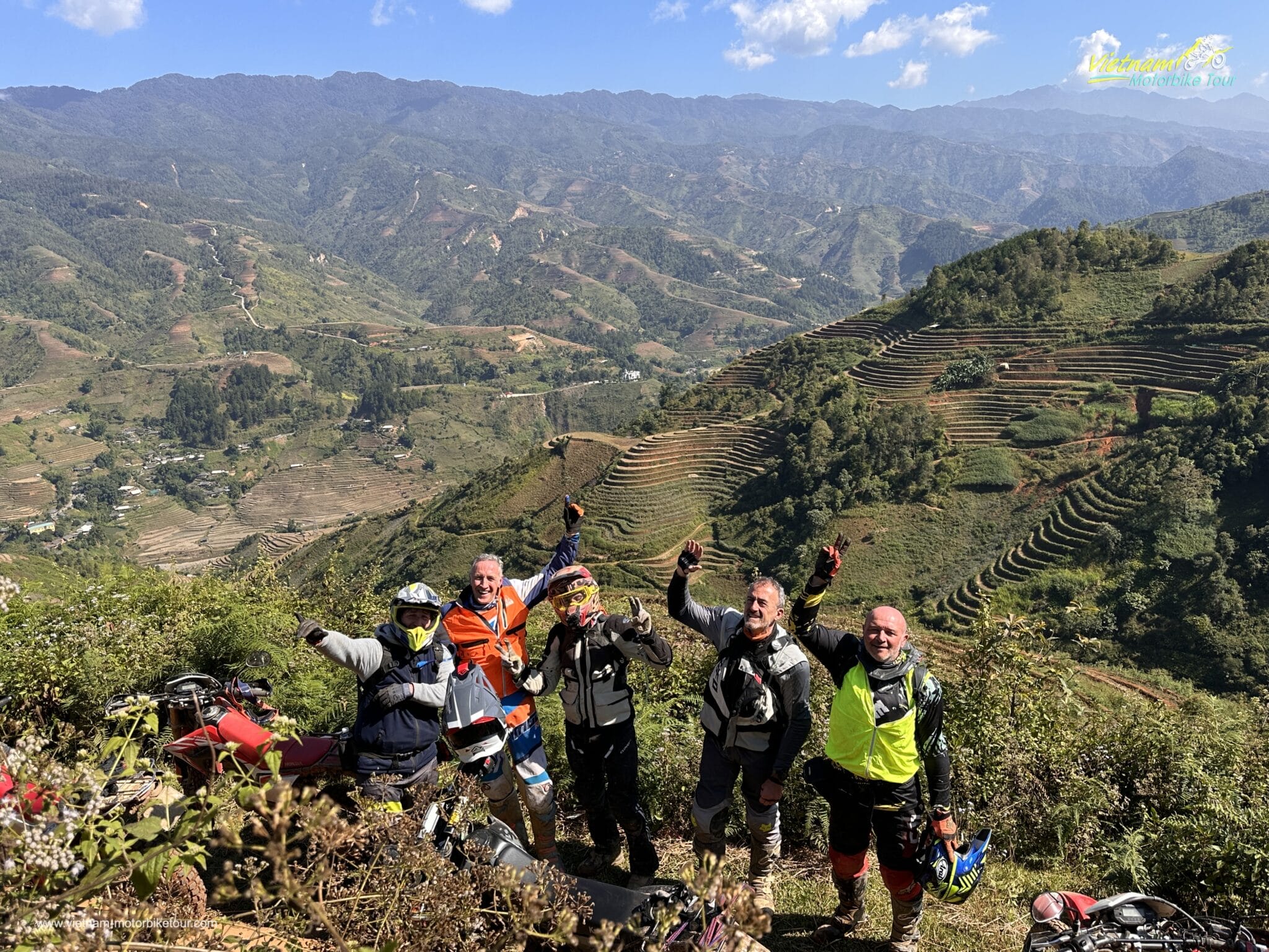
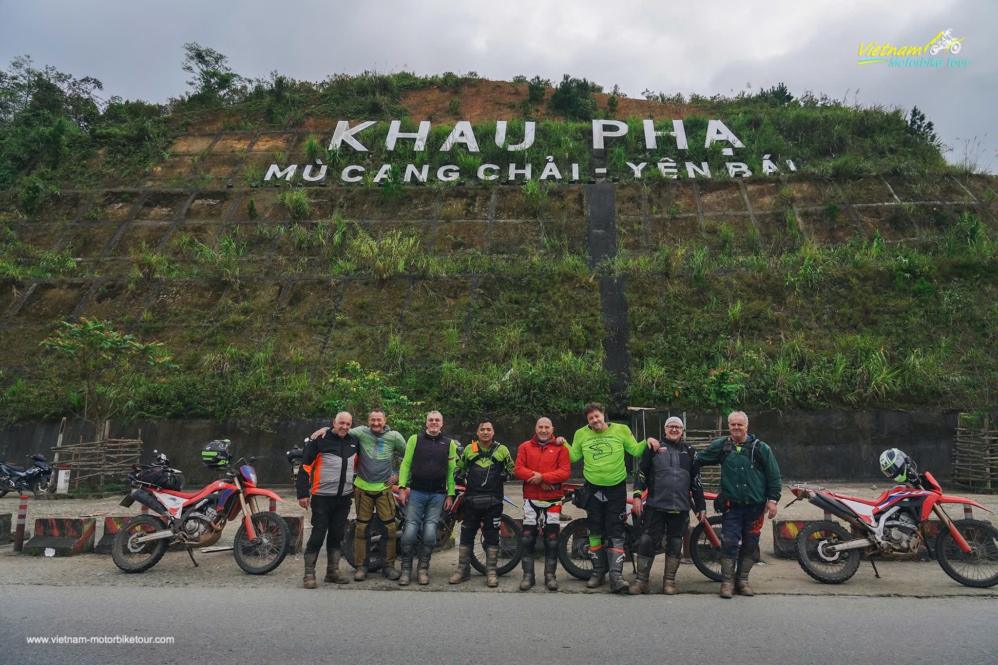
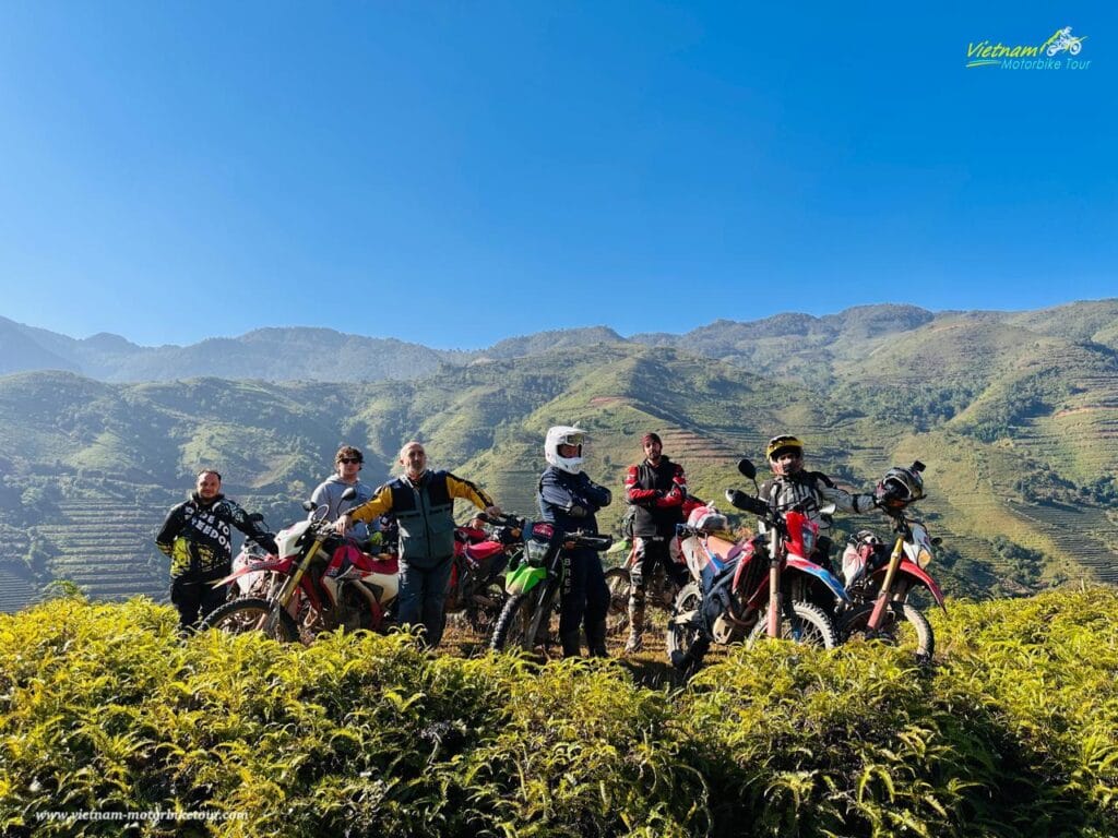
Beyond Than Uyen, we move into the landscapes for which Mu Cang Chai has become internationally famous. Rice terraces spill down mountainsides in enormous geometric patterns. Rather than being ornamental landscapes, these terraces represent generations of agricultural knowledge developed by highland communities, particularly the Hmong, to cultivate rice on steep mountain slopes.

In the planting season they shimmer like giant mirrors; during summer they glow green, and around harvest they turn golden yellow.
For motorcyclists, however, the real treasure lies beyond the viewpoints. Our guide can lead the group onto narrow side roads climbing through villages such as La Pan Tan, Che Cu Nha or surrounding terrace areas, conditions permitting. Here smooth asphalt can quickly become rough concrete, loose dirt, rocky farm roads or muddy tracks.
These hidden roads provide extraordinary opportunities to ride directly through the terraces rather than merely observing them from the main highway. The final descent into Mu Cang Chai is particularly rewarding in late afternoon light.
This is mountain Vietnam at its most cinematic: smoke rising from villages, terraces stacked against the horizon and motorcycles covered with the dust and mud of a genuine adventure.
Riding character: Fast-flowing mountain roads • dirt farm tracks • terraces • hairpins • optional off-road sections
DAY 7: MU CANG CHAI – NGOC CHIEN – REMOTE MOUNTAIN TRAILS – TA XUA
|
Approx. Distance: 170–200 km |
Estimated Riding Time: 6–7 hours |
|
Road Conditions: Mixed asphalt, broken mountain roads, dirt tracks, possible mud and technical trails |
Riding Level: Moderate to challenging |
|
Key Highlights: Mu Cang Chai terraces – remote valleys – Ngoc Chien – high mountain tracks – Ta Xua |
Overnight: Ta Xua |
For many riders, Day 7 becomes the favourite stage of the entire trip.
Instead of following the obvious highway toward Hanoi, we cut through remote mountains toward Ngoc Chien and Ta Xua, linking regions that remain wonderfully isolated.
The morning starts among the rice terraces of Mu Cang Chai before we disappear onto smaller mountain roads. Traffic becomes almost nonexistent as we climb through forest, cross streams and pass villages clinging to steep hillsides.
Ngoc Chien is known for its peaceful valley setting, traditional Thai communities and hot-spring environment, although today our motorcycles remain the focus.

From here the journey becomes increasingly adventurous. Depending on recent weather and trail conditions, sections may involve broken concrete, gravel, loose stones, forest tracks and muddy roads. In the wet season, clay surfaces can become genuinely technical; during the dry months they produce dust, ruts and exposed rock.
This is exactly where a proper dirt bike earns its keep.
The scenery also changes rapidly. Forested valleys give way to high ridgelines, and every ascent reveals another chain of mountains disappearing toward the horizon.
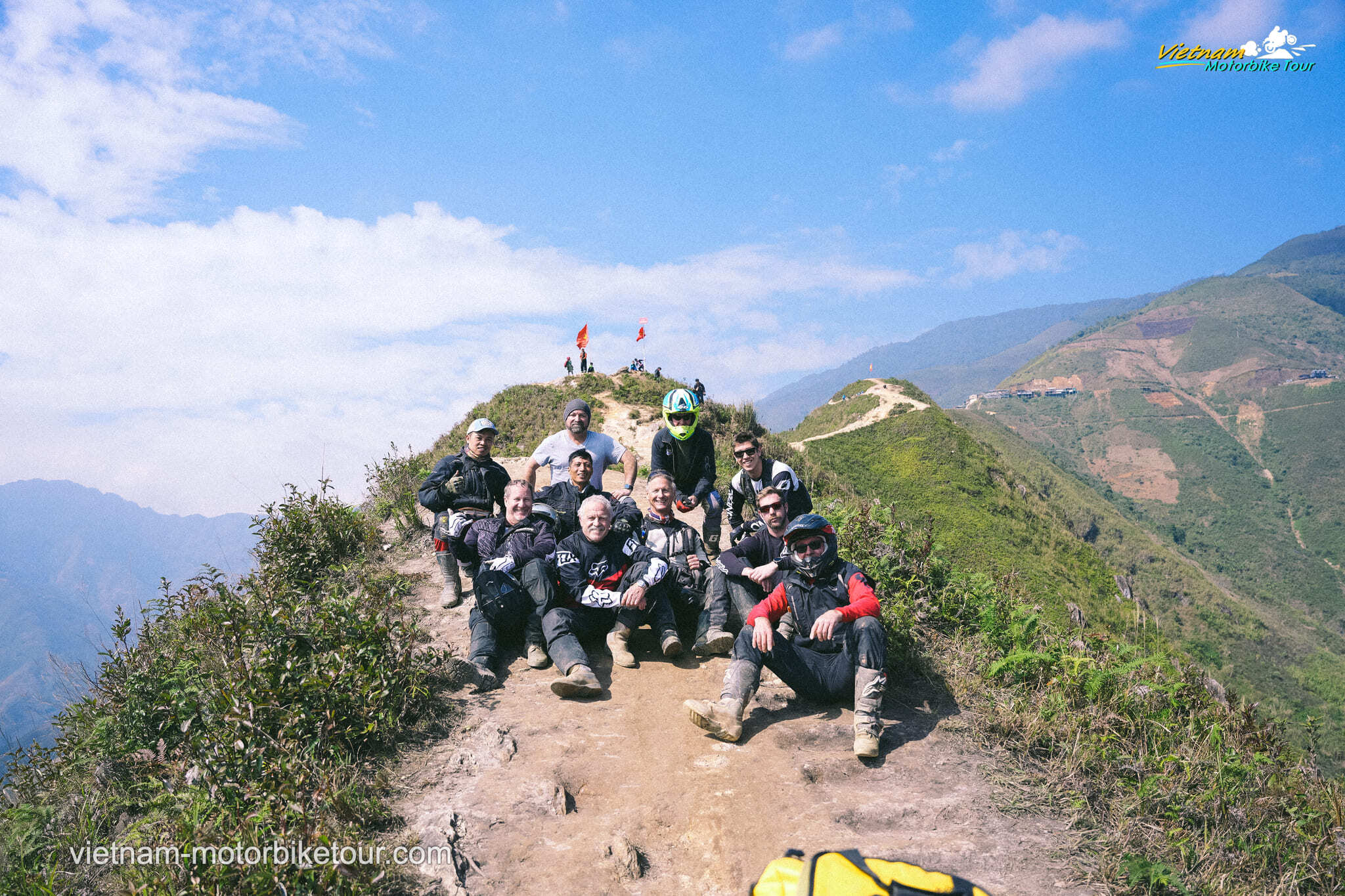
Eventually we begin climbing toward Ta Xua, one of northern Vietnam’s famous cloud-hunting regions. Ta Xua is a mountain area rather than a conventional tourist town. Its reputation comes from dramatic ridges rising above deep valleys, where cold air and humidity frequently create vast ‘seas of clouds.’
Certain off-road tracks around the wider Ta Xua area have also become legendary among Vietnamese dirt-bike riders. When safe and permitted, we explore selected sections adapted to the group’s ability. Narrow ridges and exposed trails require respect; some technical routes should only be attempted by experienced riders and in good weather.

We finish the day high in the mountains, watching clouds drift through the valleys below. It feels like exactly where an adventure motorcycle journey should end its penultimate day.
Riding character: WILD TRACKS • dirt roads • steep climbs • mud • rocky sections • forest trails • technical adventure riding
DAY 8: TA XUA – BAC YEN – PHU YEN – DA RIVER COUNTRYSIDE – HANOI
|
Approx. Distance: 220–240 km |
Estimated Riding Time: 6–7 hours |
|
Road Conditions: Mountain roads, secondary countryside roads and highway sections approaching Hanoi |
Riding Level: Moderate |
|
Key Highlights: Ta Xua sunrise – mountain descent – Bac Yen – Phu Yen Valley – rural northern Vietnam |
Overnight: Hanoi |
There are few better places to begin the final day than Ta Xua.
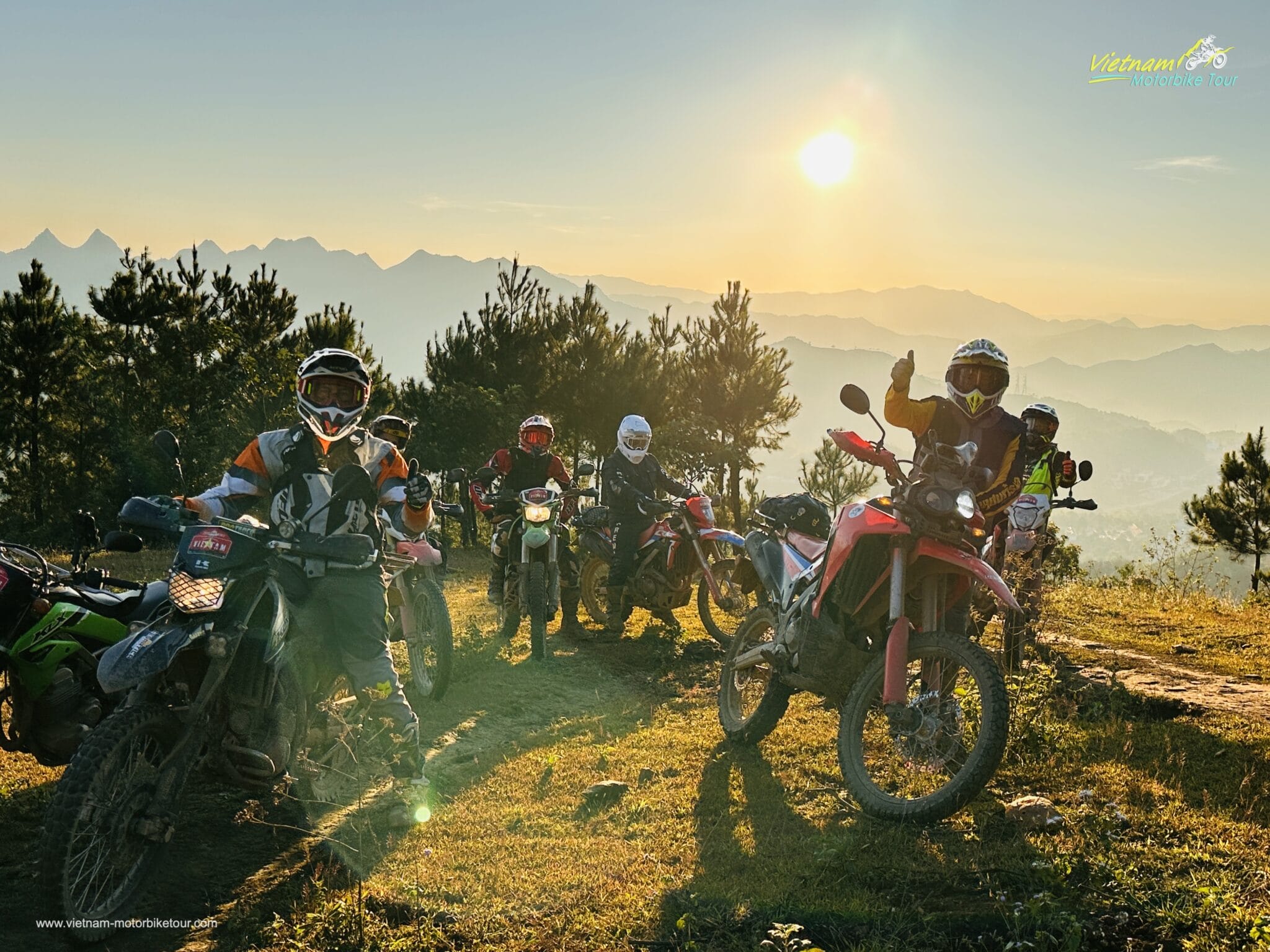
If conditions cooperate, we wake early to watch sunrise over the mountains. Clouds often gather beneath the ridges, transforming the valleys into an immense white ocean while isolated peaks rise like islands above them. It is one of those scenes that photographs rarely capture properly.

After breakfast, we begin the long descent toward Bac Yen. The road twists continuously through highland villages before reaching lower, warmer valleys. Today is less technically demanding than yesterday, but the riding remains superb.
From Bac Yen we continue toward Phu Yen, an agricultural valley surrounded by mountains. Where time and conditions allow, we avoid some of the larger roads and follow quiet countryside lanes, crossing small rivers and riding through villages far removed from conventional tourist routes.
Gradually the landscape changes. The enormous mountains of the Northwest begin to soften into rolling hills, the roads become busier and signs of the Red River Delta start to reappear.
The closer we come to Hanoi, the greater the contrast feels.
Eight days ago we left the capital with clean motorcycles and little idea what the mountains would deliver. Now we return carrying dust from Dien Bien, mud from highland tracks, memories of countless hairpins and probably thousands of photographs.
This is why the trip is much more than an ordinary motorcycle holiday. It crosses different ethnic regions, connects one of Vietnam’s most important historical landscapes with its most dramatic mountain scenery, and introduces riders to roads that few foreign visitors ever experience.

Late in the afternoon we ride back into Hanoi and return the motorcycles. The engines fall silent — but the EPIC RIDE through Northwest Vietnam is unlikely to be forgotten.
Riding character: Mountain descent • sweeping curves • rural backroads • mixed surface • long final expedition stage
END OF THE TRIP!
Note: Actual mileage may vary depending on weather, trail accessibility, road repairs and the off-road sections selected by the tour leader.
Major Tour Highlights
- Ride deep into the remote Northwest of Vietnam, far beyond the standard tourist circuit.
- Visit the iconic Hoa Binh Hydropower Plant and Da River landscape.
- Explore Lung Van – the Roof of the Muong Region – with terraced fields, traditional villages and Thung Waterfall.
- Relax at natural Bo Am Hot Spring in Chieng Yen, surrounded by peaceful countryside.
- Cross the historic mountains between Son La and Dien Bien Phu.
- Explore A1 Hill and General De Castries’ bunker, key sites of the 1954 Dien Bien Phu battlefield.
- Ride through remote Dien Bien and Lai Chau, two of Vietnam’s most spectacular mountain provinces.
- Conquer the legendary O Quy Ho Pass above 2,000 metres.
- Experience off-road riding among ethnic villages around Muong Hoa Valley, Sapa.
- Ride directly through the breathtaking rice terraces of Mu Cang Chai.
- Challenge dirt roads, muddy tracks, broken mountain roads and optional single trails.
- Finish the adventure among the spectacular cloud-covered mountains of Ta Xua.
Riding & Terrain Profile
Terrain includes: Asphalt mountain passes • broken backroads • compact dirt • gravel tracks • rocky trails • narrow concrete village roads • forest tracks • farm roads • rutted sections • muddy tracks after rain • steep climbs and descents • switchbacks • hairpin bends • optional single-track riding.
Recommended positioning: Adventure / Off-Road Motorcycle Tour – Intermediate to Experienced Riders.
This tour should not be marketed as hard-enduro. Most long-distance connections use mountain roads, while carefully selected dirt and off-road sections provide the adventure character.
Frequently Asked Questions
How difficult is this Northwest Vietnam motorcycle tour?
The tour is rated moderate to challenging. Riders should be comfortable controlling a motorcycle on winding mountain roads, steep climbs and descents, loose gravel and occasional muddy or rocky terrain. Some technical sections can be bypassed if necessary.
Do I need previous off-road experience?
Basic off-road experience is strongly recommended. You do not need to be an enduro racer, but experience riding dirt roads, gravel and uneven surfaces will make the trip considerably more enjoyable.
How much off-road riding is included?
It varies from day to day. Some stages primarily involve spectacular paved mountain roads, while others include dirt tracks, farm roads, broken trails and optional single tracks. Trail selection can change according to weather and rider ability.
What motorcycles are recommended?
Lightweight dual-sport motorcycles such as Honda CRF250L, CRF300L or similar bikes are ideal. They provide enough performance for mountain roads while remaining manageable on technical terrain.
Can intermediate riders join the tour?
Yes. The guide can adjust selected technical sections according to the group’s ability. However, riders should already be confident operating a manual motorcycle.
What happens if heavy rain makes a trail impassable?
Our tour leader will select an alternative route. Northwest Vietnam’s mountain roads are highly weather-dependent, particularly during the rainy season, and rider safety always comes before completing a particular trail.
What is the best time to ride this route?
Generally, March–May and September–November provide some of the most enjoyable riding conditions. September and early October are particularly attractive around Mu Cang Chai because of the rice harvest, although weather can never be guaranteed.
Will we see the famous cloud sea at Ta Xua?
Possibly, but it cannot be guaranteed. Cloud inversions depend on temperature, humidity, wind and overnight weather conditions.
Is the tour suitable for passengers or pillion riders?
It can be arranged, but pillion riders should understand that some off-road sections can be rough. For particularly technical routes, alternative easier roads may be used.
Are support vehicles available?
Yes. A support vehicle can be arranged for larger groups or riders who want luggage transportation and additional logistical backup. Some narrow off-road tracks, however, cannot be accessed by support vehicles.
What happens if a rider cannot complete a technical section?
There is no pressure to ride beyond personal ability. Our guide can choose an easier alternative route whenever practical.
Is this tour mostly about riding or sightseeing?
It is primarily an adventure motorcycle expedition, but sightseeing and cultural experiences are integrated naturally into the route rather than added as separate tourist excursions.
Do we visit ethnic minority villages?
Yes. The route crosses areas inhabited by Muong, Thai, Hmong, Dao and several other communities. Riders are expected to behave respectfully when entering villages, photographing residents or visiting homes.
How many hours do we ride each day?
Usually around 5–7 hours, depending on road conditions, photography stops, meals and trail difficulty.
Is Dien Bien Phu worth including in a motorcycle tour?
Absolutely. Dien Bien adds a historical dimension that distinguishes this route from many conventional motorcycle tours. The battlefield complex includes A1 Hill, the former French command bunker and numerous historic sites connected to the decisive 1954 campaign.
Inclusions:
Motorbike(s) (Honda or Yamaha)
Helmet(s)
Driving gears
Gasoline on tour
English speaking guide
Mechanic (only for a group from 6 passengers)
Accommodation as indicated in the itinerary (based on twin or/and triple shared)
Homestay permission
Meals as indicated in the itinerary
Entrance fees & Sightseeing fees
Fruits & coffee + bottled water on roads everyday
Government’s taxes
Exclusions:
Travel insurance
Visa
Air-ticket
Tips
Personal expenses