Geography
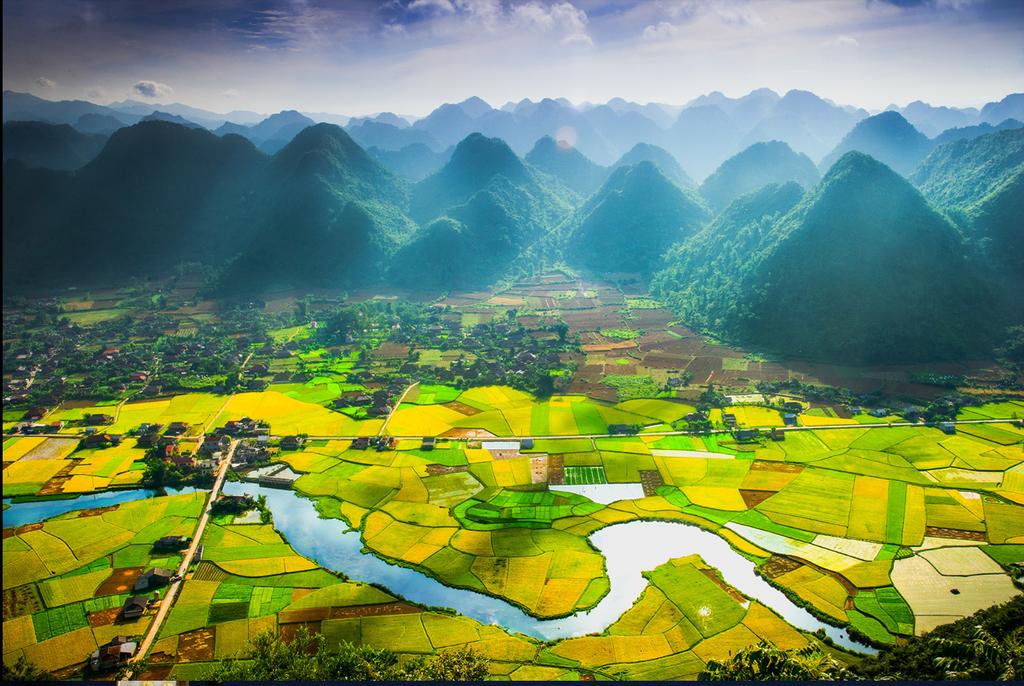
Hau Giang belongs to Mekong Delta. It borders with Can Tho City, Vinh Long Province on the north, Bac Lieu Province on the south, Soc Trang Province on the east, and Kien Giang Province on the west.

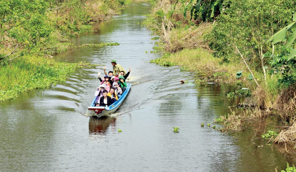
Hau Giang is located on a complicated network of rivers, springs, and canals such as: Hau, Cai Tu rivers, Quan Lo, Phung Hiep, Xa No, Xang Nang Mau canals. Climate: The climate is harmonized with few of storms. It is hot, humid all year. The rainy season lasts from May to November, and dry season lasts from December to April. The annual average temperature is 27oC.

Tourism and Economy
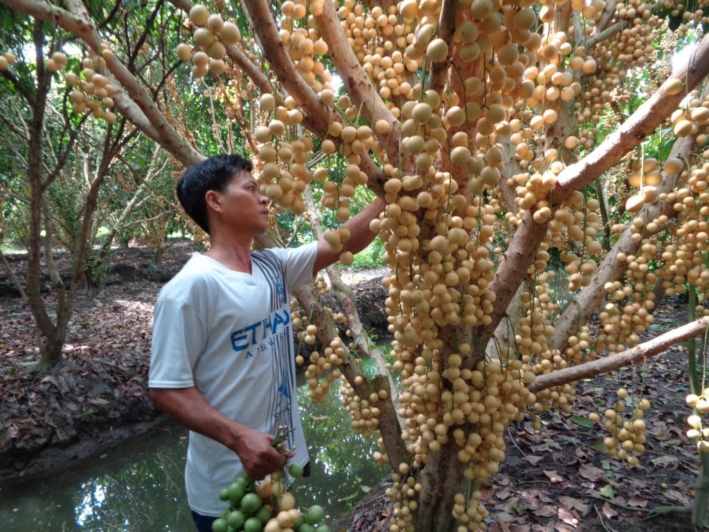
Hau Giang has the advantage of growing rice and fruit tree as well as rearing aquaculture. The province is famous for Phung Hiep Floating Market. From seven branches of Mekong River, hundreds of boats join in floating market to sell various fruits and other things like another market. The name ‘Phung Hiep snake market’ is well-known to foreign tourists. Visitors from over the world come to that market to taste snake liquor and to see the dangerous snake dance.
Hau Giang is also proud of the Historical Site of the Provincial Party Committee’s Base and Long My Historical Site. Long My preserve many interesting things about the glorious history in a resistance war. There are also facilities for entertainment and recreation. In Long My, tourists enjoy seeing numerous of storks of various types and 30 typical species of birds in stork sanctuary.
Transportation
National Highway No.61 links Vi Thanh City and Can Tho City, Kien Giang, Bac Lieu. Vi Thanh City is 60km from Can Tho.
- Consider one of our best Vietnam Motorbike Tour to Mekong Delta at Southern Vietnam Motorbike Tours


