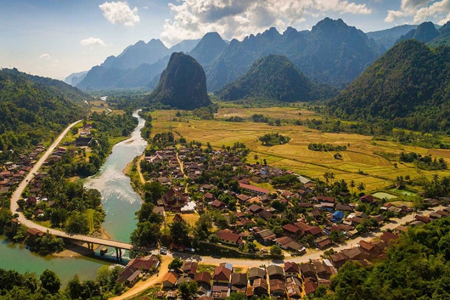
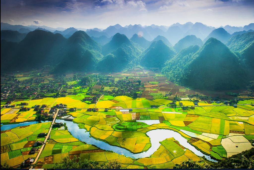
Sparsely populated Hua Phan province is a sea of misty mountains, dotted with isolated bowl-like valleys. The country’s northeasternmost province, it’s also one of the most spectacularly beautiful provinces in all of Laos, with some of the north’s highest mountains, a large number of diverse ethnic groups, extensive forest cover and one of Laos’s largest NBCAs.
There are also enough caves, waterfalls and limestone karst scenery to give Vang Vieng hoteliers sleepless nights: you only need to drive the road in from Nam Neun to realize what amazing tourist potential Hua Phan has. The problem of course is infrastructure – though roads are now greatly improved, there are still very few of them, and unless they’re travelling through to or from Vietnam, very few travellers make the effort to see the area.

The difficult terrain and the province’s proximity to Vietnam made Hua Phan the perfect headquarters for the Pathet Lao, who operated out of the caves that honeycomb the karst formations in Vieng Xai for the better part of their Thirty Year Struggle. Along with Phongsali, Hua Phan was set aside as a regroupment area for the communist forces under the Geneva Agreements of 1954. While the province formed the backbone of the Pathet Lao’s liberated zone, not all of Hua Phan was under communist control: for years, the 1786m mountain peak of Phou Pha Thi was crowned by a “blind bombing” device to guide air raids on Hanoi.
The real muscle behind the Pathet Lao during the war, Vietnam, retains much political and economic control over Hua Phan, and a steady flow of Vietnamese goods, electricity, merchants and construction workers arrives in the Lao province via three border points – one of which is open to foreign travellers. Travelling beyond Sam Neua town is a more attractive option than it used to be now that the Na Meo border crossing gives overland access to Thanh Hoa province in Vietnam. Regular buses from Sam Neua travel up to the border, though you’ll need to already have a Vietnamese visa in order to make the crossing.
Hua Phan is predominantly populated by various Tai groups – Red, Black, Neua and White – and, in the towns, migrants from Vietnam and China. With more than twenty ethnic groups in the mix, it’s perhaps not surprising that even residents from neighbouring Xieng Khuang complain about the difficulty of understanding Hua Phan dialect. During the centuries before French rule, the area was part of a Black Tai principality, known as the Sipsong Chao Tai, which spanned the present-day Lao–Vietnamese border.
The principality fell under the sway of the lowland Laos kingdoms of Luang Prabang, Xieng Khuang and Vientiane and under the control of the greater powers that in turn controlled them – Siam and Vietnam. Stone pillars (known as Suan Hin), located several kilometres off Route 6 near Houa Muang, suggest that the area was a hub of some forgotten culture long before Tai–Lao and Vietnamese rulers squabbled over this region.


